Defani Arman Alfitriansyah
Forester · Remote Sensing & GIS Analyst · Open-source Geospatial Developer
English · Bahasa Indonesia
Defani Arman Alfitriansyah
Forester · Remote sensing & GIS · Open-source geospatial tools
Gayo, Aceh Tengah & Bener Meriah, Indonesia
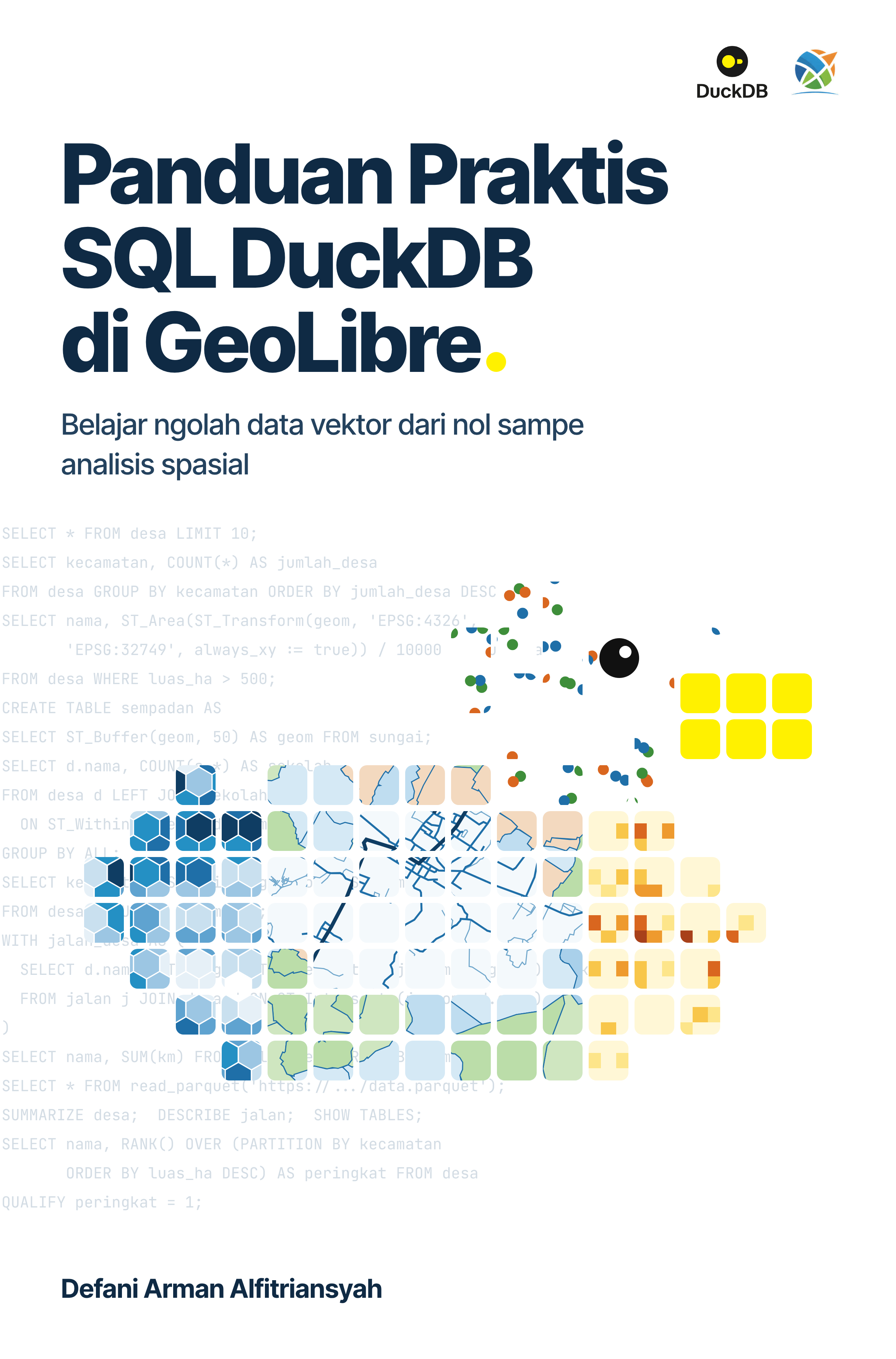
New book: Panduan Praktis SQL DuckDB di GeoLibre
I have just published a book! Spatial SQL from scratch in plain language, practised in GeoLibre. 26 chapters, 147 SQL examples, real data from Kuningan and West Java.
Rp85,000 · PDF + EPUB · 420 pages
I’m a Forestry graduate specializing in remote sensing, forest carbon modeling, ecological modeling, and cloud-based geospatial technology for environmental applications.
I’m now working in agroforestry, building GIS databases and WebGIS systems to support spatial data management, monitoring, and traceability. My work covers developing spatial datasets, processing and analyzing geospatial data, and producing maps and visualizations that support forest and environmental decision-making.
My research background centers on forest carbon assessment, biomass modeling, and Sentinel-2 spectral analysis, using Google Earth Engine and an open-source Python ecosystem (geemap, cartoee, cartopy, scikit-learn, pandas, matplotlib, Google Colab).
I also serve as a GIS & Spatial Modeling Laboratory Assistant, mentoring students in GIS, remote sensing, Google Earth Engine, and Python-based spatial analysis.
I build open-source geospatial tools: RasterViz, a QGIS plugin for Matplotlib-style raster visualization without coding, used by 1,300+ users worldwide, and the GeoLibre plugins Layout Composer, GBIF Data and iNaturalist Extractor.
As a content creator on Instagram (@49s.lab, 6K+ followers), I share practical GIS, remote sensing, and open-source geospatial tutorials. I work with open-source software only, and I’m open to collaboration on forest carbon, sustainability, EUDR, and GIS-based traceability systems.
Research and writing

Thesis: Pemodelan Simpanan Karbon Mangrove Berbasis Citra Sentinel 2A
Mangrove carbon stock modelling in the Cipunegara estuary, Subang. Read it as a web book, chapter by chapter, with figures, tables and formulas.
Blog
Ten articles moved over from Medium: Google Earth Engine, R, QGIS, mangrove mapping, land cover classification.
Where I work
Live data
Tree cover loss in Indonesia
Source: Global Forest Watch, data by Hansen/UMD/Google/USGS/NASA.